Digital Mapping and Cartography
Cartography involves the abstraction, manipulation, analysis and graphical representation of the phenomena and relationships in the real world. To produce a lucid and informative map, professional knowledge and judgment in the selection of data, visualization and presentation of information are critical.

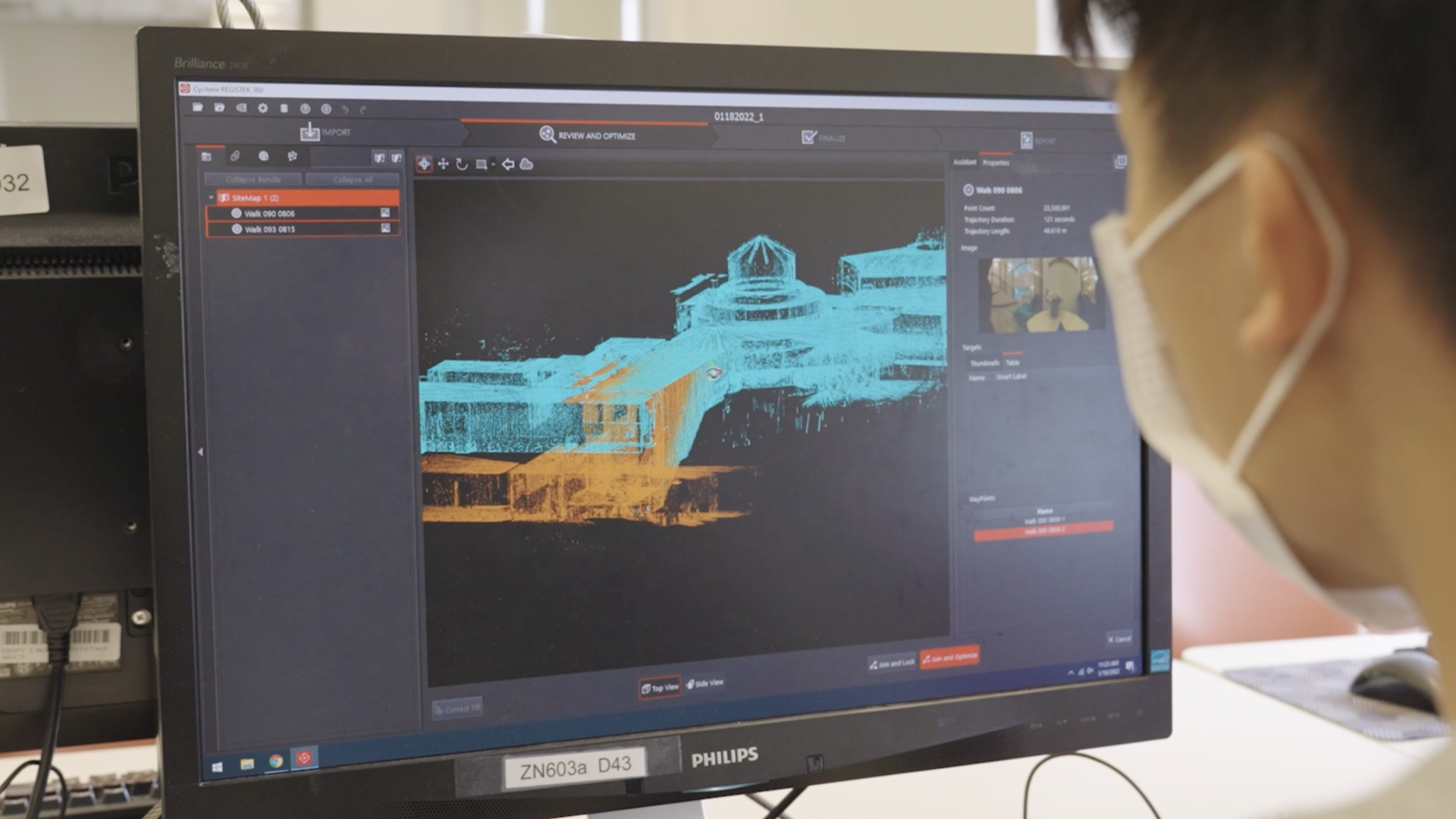
(Image Source: Department of Land Surveying and Geo-informatics, The Hong Kong Polytechnic University)
Land surveyors specialized in cartography and digital mapping play important roles of designing comprehensive mapping database, formulating mapping standards and specifications, overseeing map production, managing data quality, data analysis and presentation of spatial information in both 2D and 3D perspectives.
With the advent of IT and GIS technologies, the recent developments of automated map generalization and multiple representations in digital mapping can facilitate the updating and production of maps. Maps in various scales, themes and formats on different platforms and applications support smart city development, decision making, public administration, planning and managing resources.
(Image Source: Department of Land Surveying and Geo-informatics, The Hong Kong Polytechnic University)