Topographic Surveying
Topographic surveying refers to survey practices measuring and locating features on land for creating maps at different scales in hard copy and digital form. These maps and associated data have been widely used by the public and private sectors as one of the core basic information to make reference to for land administration, town planning, engineering development, education, transportation, election, emergency and other general uses, and is turning into one of the core components of spatial data infrastructure supporting smart city development.

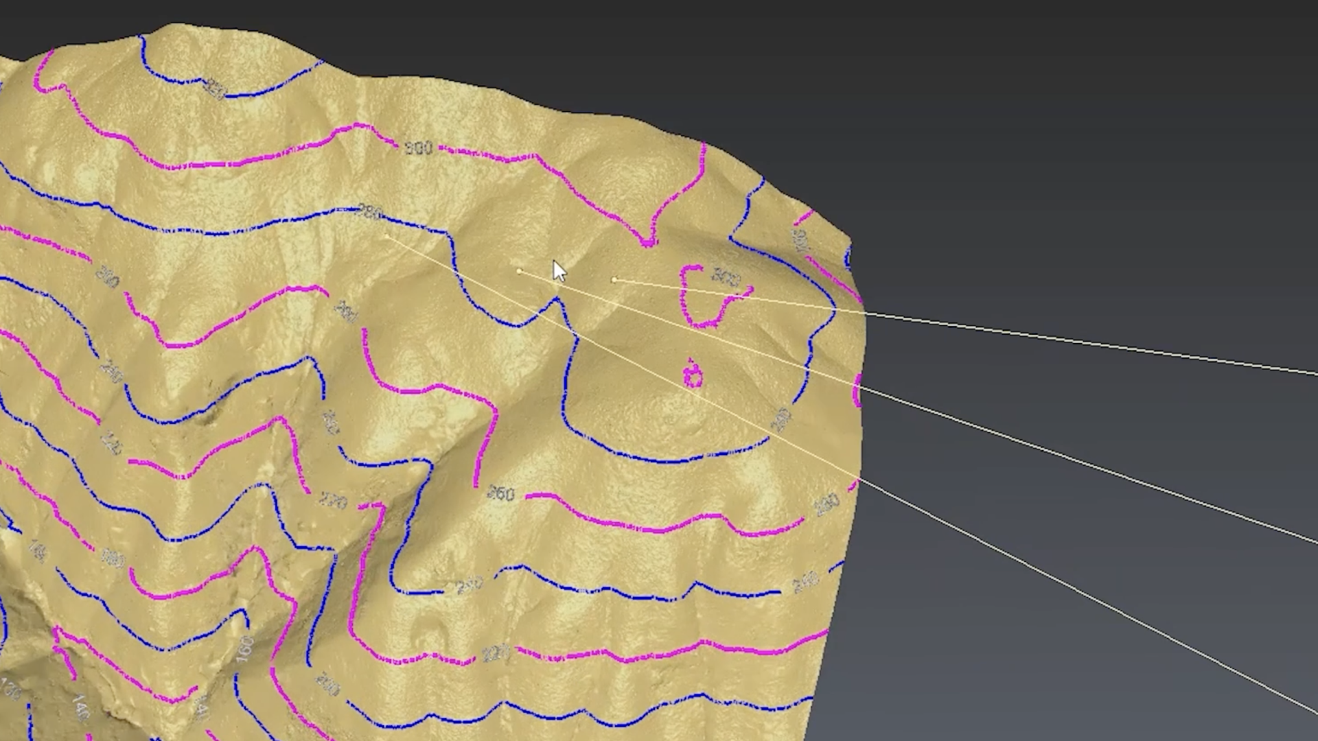
(Image Source: Department of Land Surveying and Geo-informatics, The Hong Kong Polytechnic University)
Professional land surveyors are closely involved in formulating mapping policy, standards and specifications; advising and exercising the best mapping practice by adopting right technology to truly present the topography in 2D and 3D meeting most users’ needs.
(Image Source: Department of Land Surveying and Geo-informatics, The Hong Kong Polytechnic University)