Hydrographic Surveying
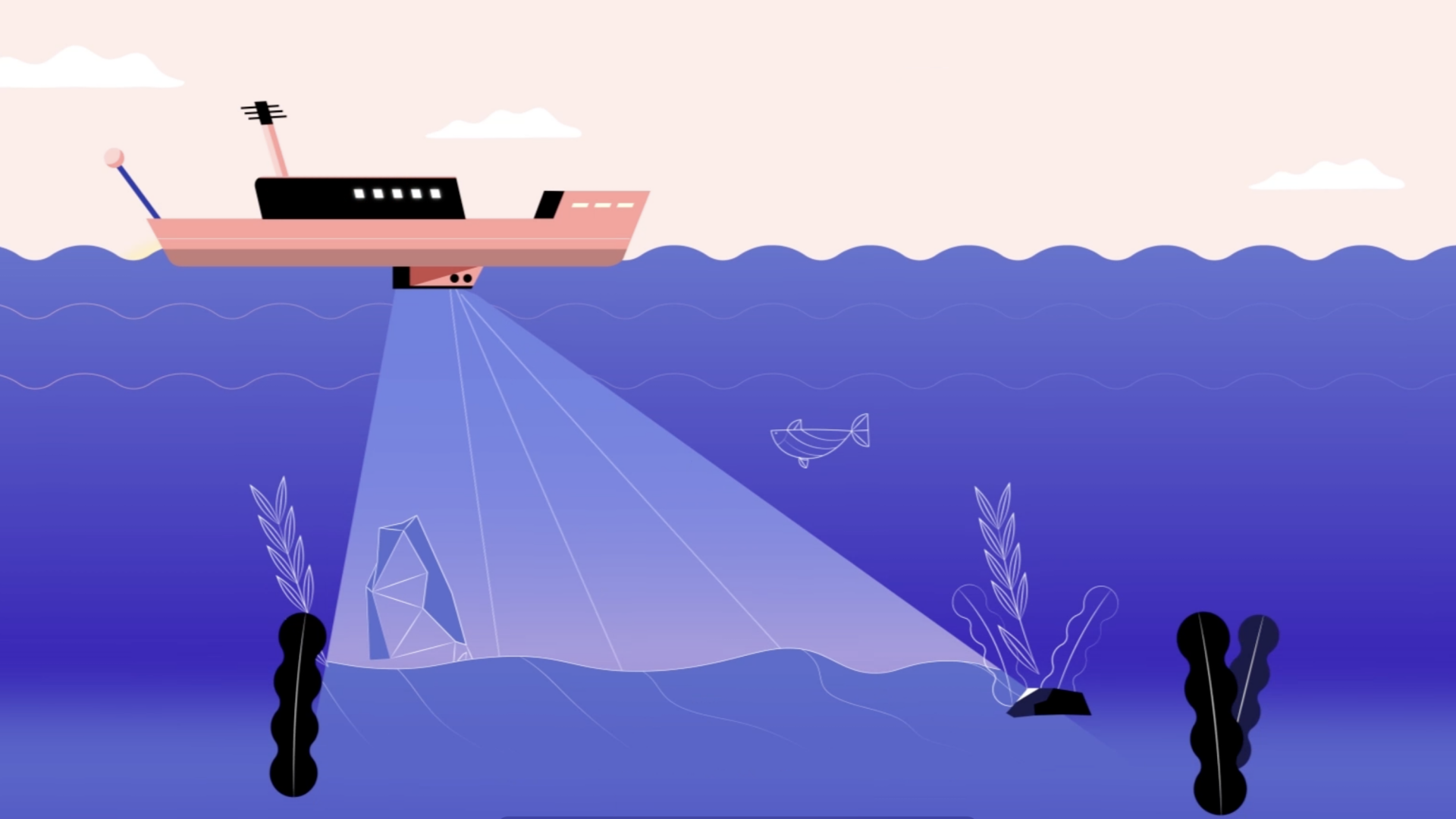
Hydrographic surveying refers to survey practices measuring the water depth, mapping of underwater topography, accurate positioning, classification of seabed sediments etc. in oceans, ports, rivers and reservoirs. It is aimed to ensure navigation safety and support various maritime and engineering activities including port planning, maritime navigation, shipwreck search and rescue, underwater archaeology, deepening navigation channels, construction of port facilities, laying of underwater pipelines, cables and tunnels, etc.
Professional land surveyors apply knowledge and different technologies such as Geodesy, Satellite Positioning, Sonar, Navigation System, Sensors etc., under strict quality control by making reference to international standards, to provide accurate 3D positioning, underwater data acquisition (e.g. bathymetric, tidal, current and geophysical data) and data analysis services. These hydrographic surveying services contribute to building and maintaining Hong Kong as one of the busiest and most efficient international ports in the world.


